Comprehensive guides covering sump pump installation, repair, basement waterproofing, and drainage solutions for UK homeowners.
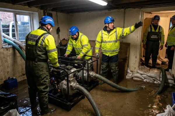
round-the-clock Emergency Drainage & Flood Response in Ipswich and Suffolk When water is flooding your property, you need help fast. Sump Plus provides round-the-clock emergency...
Read More →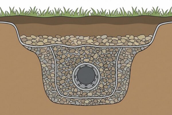
French Drain Installation: Effective Water Management for Your Property French drains are one of the most effective and time-tested methods for managing subsurface water. At...
Read More →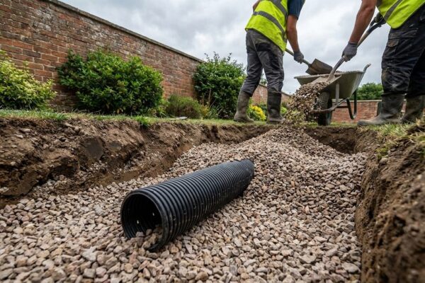
Complete Drainage Solutions for Suffolk Homes and Businesses Effective drainage is the foundation of a dry, healthy property. At Sump Plus, professionals provide comprehensive drainage...
Read More →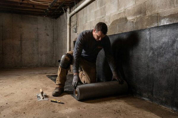
Understanding Basement Waterproofing Methods A dry basement is a valuable asset. Whether you’re converting a cellar into living space, protecting stored goods from damp, or...
Read More →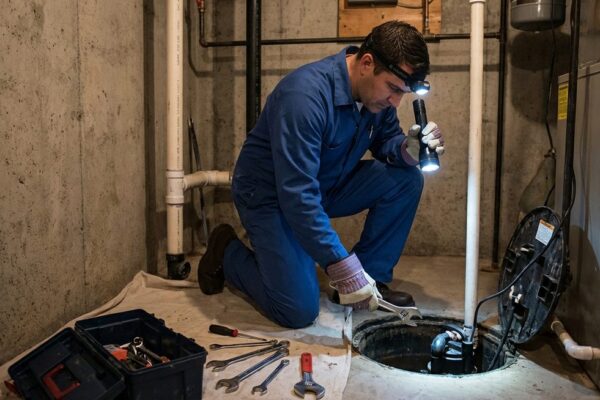
Sump Pump Repair and Maintenance Services in Suffolk A sump pump is only effective if it’s working properly. At Sump Plus, professionals provide comprehensive sump...
Read More →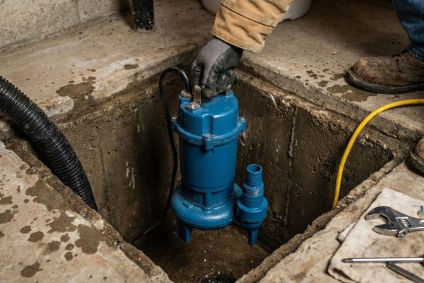
Understanding Sump Pump Installation: A Complete Guide Protecting your property from water damage starts with a reliable sump pump system. Whether you’re dealing with a...
Read More →